SCENIC FLIGHT (Day 5 - part 4)
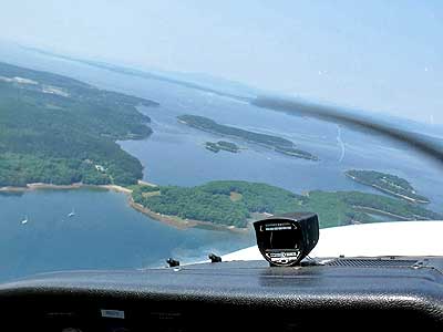
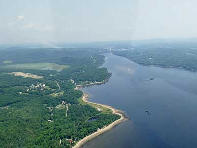
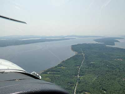
We continued north towards the town of Castine.

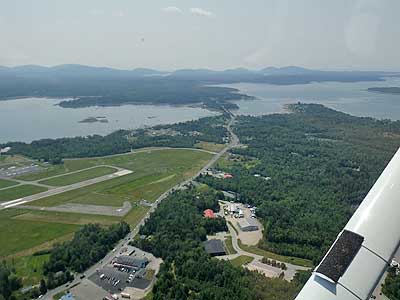
(1) airport, (2) Bar Harbor, (a) Egg Rock, (b) Prospect Harbor, (3) Rockefeller Hall, (c) Winter Harbor, (4) Sand Beach,
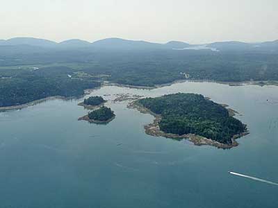
(5) The Station, (d) Baker Island, (e) Bear Island, (f) Bass Harbor, (g) Burnt Coat Harbor, (6) quarry,
(h) Deer Island Thorofare or Mark Island, (i) Eagle Island, (j) Pumpkin Island, (7) Castine, (k) Dice Head, (l) Fort Point, (8) Fort Knox
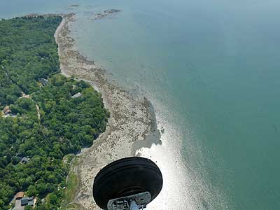
Silas ... Passing by Indian Bar
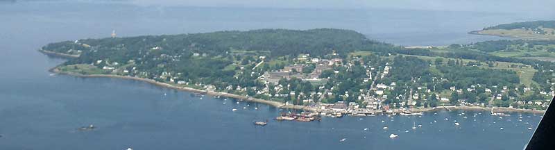
Castine
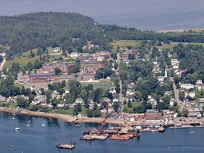
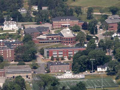
Maine Maritime Academy, captains’ school
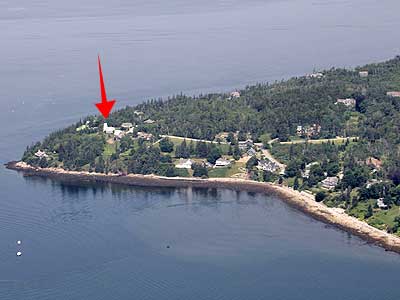

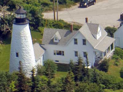
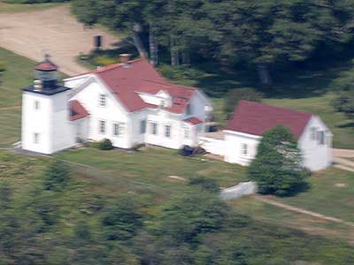
Dice Head lighthouse
Dice Head Lighthouse (also sometimes written as Dyce Head) was completed in 1828 to protect the growing shipping industry of Castine. The Dyce family formerly owned the site selected for the lighthouse. It was electrified and automated in 1935 and decommissioned in 1937. The light was moved to a nearby structure and the tower was eventually turned over to the town in 1956. In 2007, a microburst knocked over the light structure and residents suggested that rather than rebuilt it, the Coast Guard install a light in lighthouse again. So in 2008, after 72 year of darkness, the Dice Head Lighthouse shone again.
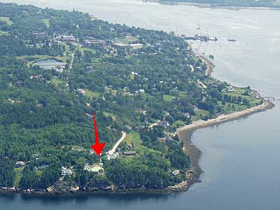
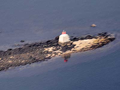
On to Fort Point lighthouse...
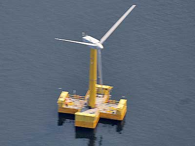
Turbine ... Beacon

In 1834, the lighthouse was built at the entrance of Penobscot Bay on Fort Point to guide ships hauling potatoes and timber from the area. By 1855, the station was already falling apart and had to be rebuilt. It was electrified in 1950 and closed in 1988. Today it is one of nine lighthouses in Maine still using a historic Fresnel Lens.

(right) The station’s pyramidal wooden fog bell tower is one of the few left in New England.
We then made our way up the Penobscot River.
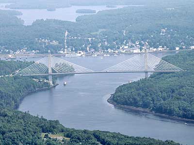
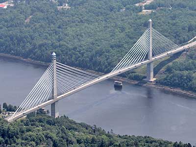
Penobscot Narrows Bridge
The Penobscot Narrows Bridge is a 2,120-foot-long cable-stayed bridge that connects Verona Island to the town of Prospect. It opened in 2006, replacing an older 1931 bridge.
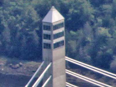
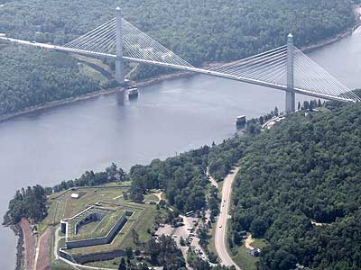
The 420-foot west tower houses the Penobscot Narrows Observatory, the first bridge observation tower in the US and the tallest public bridge observatory in the world. ... The bridge and Fort Knox
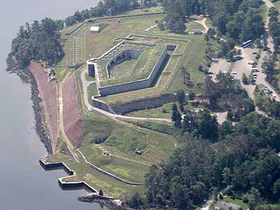
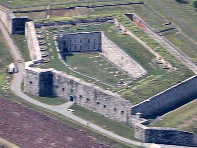
Fort Knox
During those early years after the foundation of the United States, Maine was involved in northeast border disputes with British Canada. This area was repeatedly being invaded and occupied by British forces. It was decided that a fort on the Penobscot River would be of the utmost importance. In 1844, it took 400 men took just over a month to complete the fort, which was named in honor of Major General Henry Knox, the country's first Secretary of War.
It was time to start heading back.
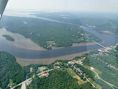
Eastern Channel and Verona Island ... Orland River
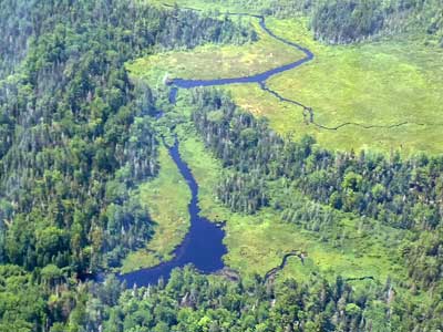
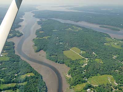
Toddy Pond ... marshy wetlands
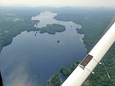
Union River Bay... Mt. Desert Island and the connecting bridge

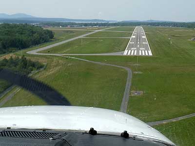
Circling around to land

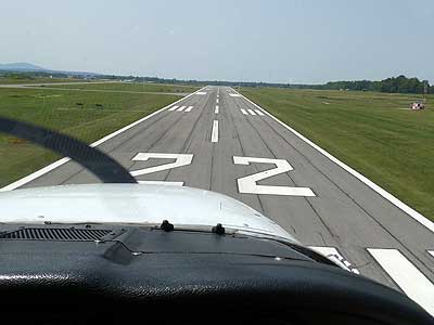
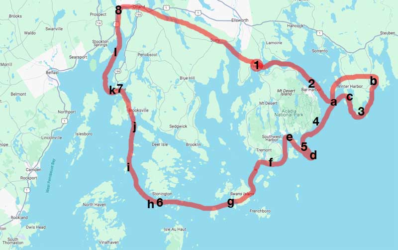
Our completed flight!
return • continue

